On foot and on horseback
Hiking and Horseback Riding from the Chalet
The Ansel Adams Wilderness begins at the back door, the pack station is a few minutes down the road, and Yosemite's high country is forty-five minutes away.
For trails inside Yosemite, see our Tuolumne Meadows guide and Tioga Pass guide. These are the trails close to June Lake that we send guests to first.
Fern and Yost Lakes, from the chalet
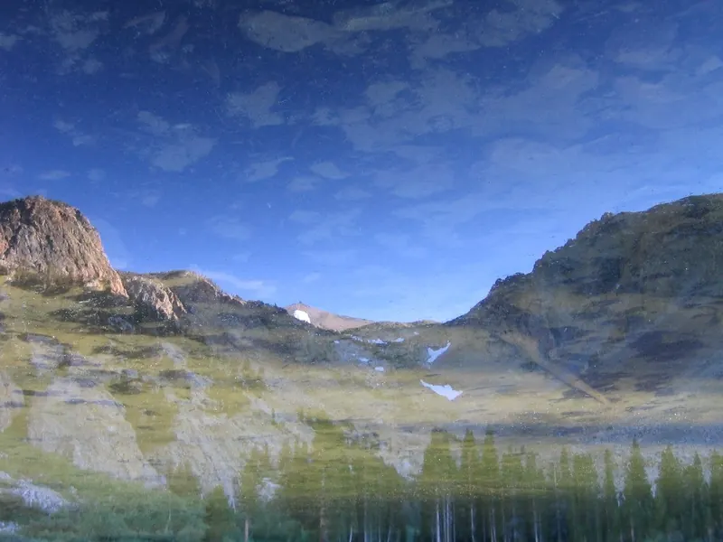
Leave the car at the house. Walk out the back door and about a mile down-canyon to the Fern Lake trailhead, then take the trail up to Fern Lake, a small lake in a cirque on the southern shoulder of Carson Peak.
From the trailhead it is about 1.6 miles to the lake, with roughly 1,600 feet of climbing. The grade is steep from the start and does not let up much. About a mile up, a branch splits off toward Yost Lake and Yost Meadow, a longer walk that many guests say rivals Tuolumne Meadows.
- Back door to trailhead
- About 1 mile, down-canyon
- Trailhead to Fern Lake
- About 1.6 miles
- Climb
- About 1,600 feet
- Round trip from the chalet
- About 5 to 6 miles, half a day
These distances are approximate. Carry water, start early in summer, and turn back if afternoon thunderstorms build over the crest.
You can climb Carson Peak, 10,909 feet, the mountain you see from the hot tub, without ever getting in a car. Walk out the back door, take the Fern Lake trail, continue past the lake up the east slope to the summit plateau, then walk north to the top. It is a long, steep, full day, but few rentals anywhere can offer a 10,000-foot summit from the back door.
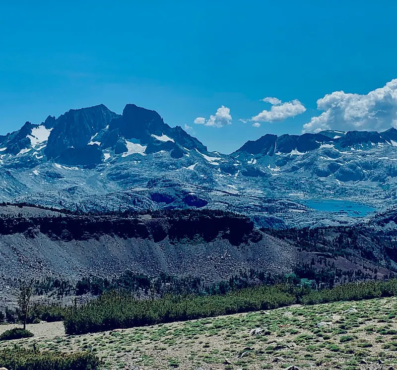
From Yost Meadow, another trail returns through the June Mountain ski area to June Lake village, ending near the Balanced Boulder by the fire station.
A secret spot
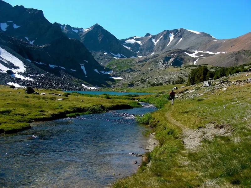
Some places we only share in person. This one is within an easy drive and a morning’s walk of the chalet: a clear creek, a string of turquoise lakes, and almost nobody else. Ask us when you check in.
Reversed Peak
The trailhead is on North Shore Drive, northeast of Gull Lake. This is prime wildlife country, though there is no fishing and water can be scarce. The Snow Lakes, small basins that hold water in spring, are the highlight, and the trail continues to the Aerie Crag area and the summit of Reversed Peak.
Parker Lake
One of the easiest and prettiest hikes on the loop, and a good first day at altitude. About half a mile past Grant Lake heading toward Highway 395, turn left onto the dirt road signed for Parker Lake and follow signs to the trailhead. Past the first steep pitch, the trail levels out beside Parker Creek through meadow and aspen, and ends at a deep lake under the walls of the Sierra crest.
The Parker Bench option. At the junction signed for Silver Lake, turn left instead of continuing to Parker Lake. The trail climbs onto Parker Bench, a high sagebrush shoulder with long views down the canyon to Silver Lake and out to Mono Lake. It is a bigger day, up to 10 miles round trip, and spectacular in fall when the aspens below turn.
Horseback riding from the pack station
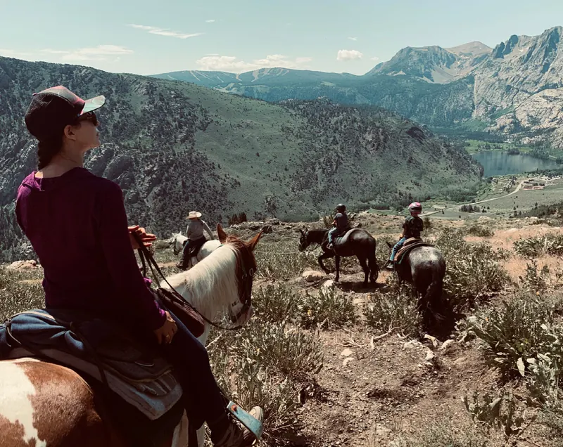
Some of the best days our guests have here start a few minutes down the road at Frontier Pack Train, the June Lake Loop’s own pack station on Highway 158 near Silver Lake. Real wranglers, sure-footed horses matched to every rider from first-timer to expert, and trails that climb straight out of the canyon to views most visitors never see.
Ride for an hour along Rush Creek, take a half day up to Parker Bench with Mono Lake and the Mono Craters laid out below, or go all day past Agnew Lake to Gem Lake for a picnic and some fishing. The pack station also runs overnight trips into the Ansel Adams Wilderness and, in fall, a multi-day horse drive from June Lake to Bishop. Kids love it, and it is the easiest way to get a whole family into the high country.
Rides run in summer and early fall. Call ahead to book, especially on weekends: (760) 648-7701.
Gibbs Lake and Kidney Lake
- Trailhead
- About 8,000 ft
- Gibbs Lake
- 9,530 ft
- Round trip
- 6 to 9 miles, strenuous
On Highway 395 south of Lee Vining, turn west on the dirt road signed for Horse Meadows. Most cars will need to park about a mile before the trailhead. Follow the steep old road through the forest to its end, then the trail to Gibbs Lake. Kidney Lake is another mile and almost a thousand feet higher.
Lee Vining Creek Trail
An easy walk of about 1.5 miles each way from the south end of Lee Vining, along a creekside forest recovering from decades of water diversion. It ends at the Mono Basin Scenic Area Visitor Center above Mono Lake.
Tioga Peak
A rounded summit just outside Yosemite’s Tioga Pass boundary, with arguably the best view of the whole Tioga Pass region. Park across from the Gardisky Lake trailhead on Saddlebag Lake Road, climb to Gardisky Lake, then take the northwest slope to the top. A straightforward scramble for a half day. See the Tioga Pass guide.
Lundy Canyon
From Highway 395 north of Lee Vining, drive past Lundy Lake to the end of the dirt road beyond the beaver ponds. The trail climbs through aspen groves, wildflowers, cliffs and waterfalls. Walk as far as you like. In late September and October, when the aspens turn, it is one of the finest walks in the Sierra.
Tuolumne Grove of Giant Sequoias
About 74 miles west on Tioga Road near Crane Flat, and worth the stop if you are driving on to the Bay Area. The grove holds a couple of dozen mature giant sequoias. The paved trail drops about 400 feet to the grove, so the work comes on the way back. Open when Tioga Road is open.