Geology and history near June Lake
Mono Lake, Wild Mustangs and Hidden Places
Many travelers rush past June Lake on the way somewhere else. They miss a landscape steeped in geological and human history.
Yosemite National Park
The park boundary is 5.75 miles from the chalet as the crow flies and 27 highway miles to the Tioga Pass entrance. Tuolumne Meadows is about forty-five minutes away, and Yosemite Valley, home of Half Dome and El Capitan, about two to two and a half hours when Tioga Road is open. Start with our guides to Tioga Pass and Tuolumne Meadows, and our analysis of when the road actually opens.
Mono Lake
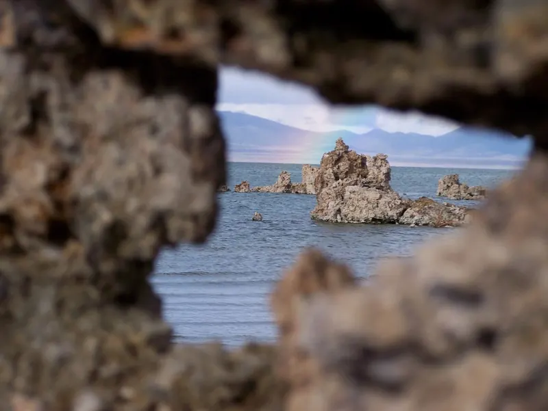
About seventeen minutes from the chalet. Walk among the tufa towers on the south shore at sunrise or sunset, when the limestone spires turn gold. The Mono Lake Committee in Lee Vining is the place to learn the lake’s story.
Wild mustangs
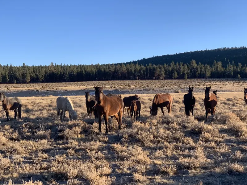
Bands of wild mustangs roam the high desert around Mono Lake, grazing the sagebrush flats between the lake and the Nevada line. They are truly wild, and seeing a herd move across open country in the evening light is one of the most majestic sights in the Eastern Sierra. Sightings are never guaranteed, which is part of the magic. If you find them, stay well back, stay in or near your car, and never feed or approach them.
The Mono Lake fissures
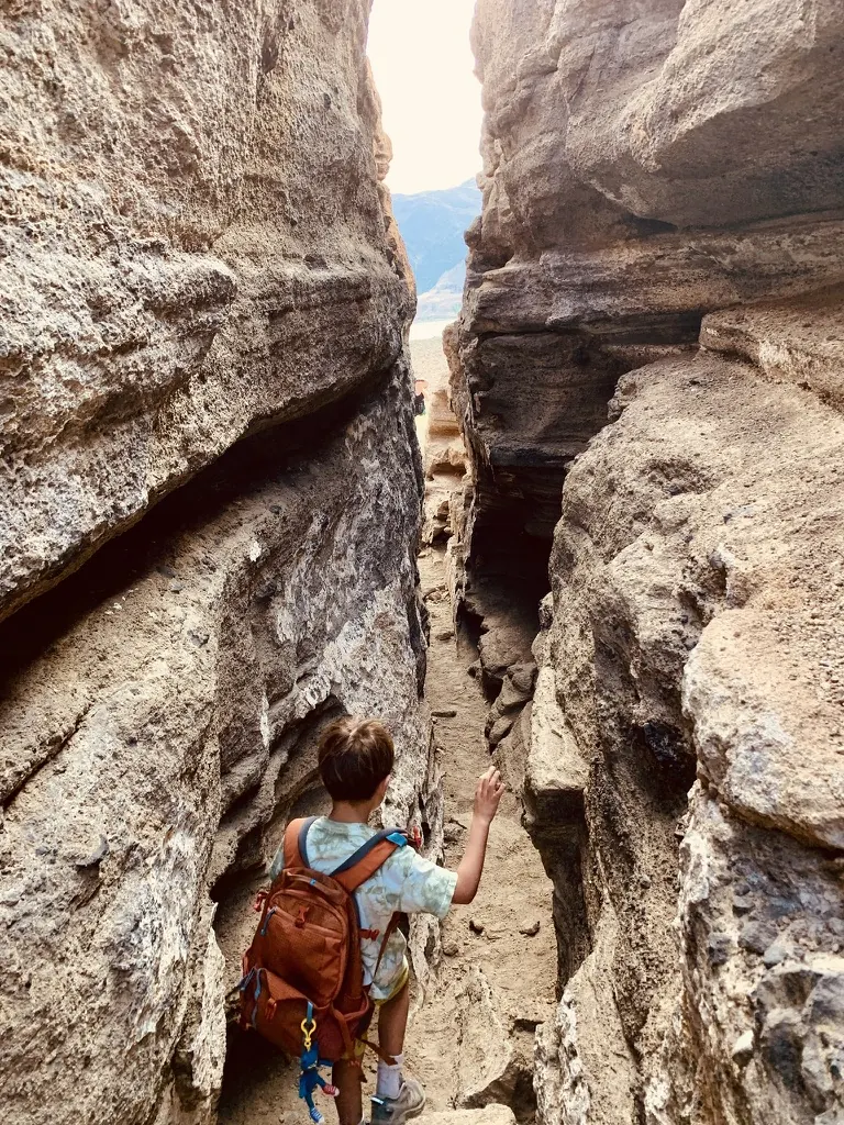
They feel like the slot canyons of Utah, but they are something stranger. About 13,000 years ago, when Mono Lake stood hundreds of feet higher, a volcano erupted underneath it and built a flat-topped hill of cinder and ash now called Black Point. As the hill cooled and settled, it cracked open. The cracks are still there: narrow fissures up to about 80 feet deep, some long enough to walk through for a stretch, with sky a thin line overhead.
They are hard to find, and well worth it. There is no trail and no sign at the fissures themselves. From US 395 about four miles north of Lee Vining, take Cemetery Road east toward the north shore of Mono Lake and follow the dirt roads to the base of Black Point. From there it is about a mile up the slope, with roughly 500 feet of climbing, picking your way along the footprints of the people who came before you. Load a map on your phone before you lose signal, bring water, and go in the cool of the morning.
The Crowley Lake columns
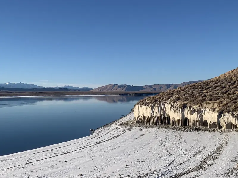
On the far side of Crowley Lake, about forty minutes south of the chalet, a low cliff has worn into a colonnade of pale stone pillars and arches. Walk inside and it looks like a Moorish palace: rows of columns, light falling in shafts between them, and the lake beyond. It is entirely natural.
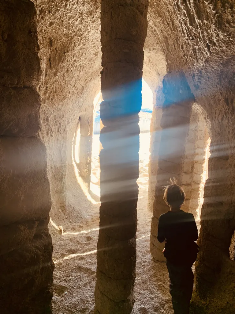
The columns began about 760,000 years ago, when the eruption that created the Long Valley Caldera buried this valley in hot ash. Snowmelt seeped down into the ash, boiled, and the rising steam hardened the rock in vertical channels. The softer rock around them stayed hidden until Crowley Lake was filled in 1941 and its waves began to wash it away, leaving the columns standing. Geologists only worked out how they formed in 2015.
Getting there is half the adventure. The usual way in is from Benton Crossing Road, then dirt roads to the east shore. You will want a high-clearance vehicle for the last stretch, or park early and walk the last mile or two. When the lake is high, some columns are underwater, so late summer and fall are the safest bets. Our friends at California Through My Lens wrote a detailed guide to finding them.
Bodie State Historic Park
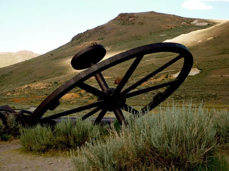
A gold-mining town from the 1870s, preserved in a state of arrested decay, Bodie gives a vivid sense of California’s boomtown years. About an hour’s drive from the chalet. The road in is partly dirt and can close in winter. Bodie State Historic Park.
Devils Postpile National Monument
A wall of near-perfect basalt columns, formed when lava cooled slowly in a valley here and was later exposed by glaciers. It is reached through Mammoth Lakes and is usually open in summer and early fall, often by required shuttle. Devils Postpile National Monument.
Further afield
The Ancient Bristlecone Pine Forest, with trees more than 4,000 years old, is a long day trip south and east of Bishop.