June Lake Trail Map · Hikes
Glass Creek Meadow
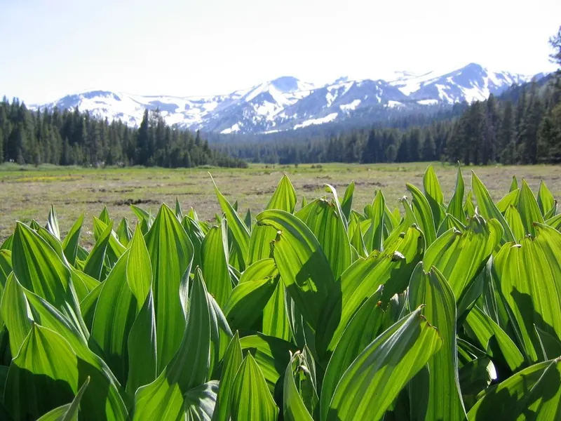
Corn lilies and wildflowers under the San Joaquin Ridge, twenty minutes south.

Map by Bill Tipton, made for the Yosemite Gateway Chalet. For planning: carry a real map and check conditions before you go.
About twenty minutes south of the chalet, off Highway 395 near Obsidian Dome, the Glass Creek trail climbs beside the creek into a broad meadow under the San Joaquin Ridge, in the Owens River Headwaters Wilderness. In early summer the corn lilies come up in thick green stands and the wildflowers follow. Few people know this one.
- From the chalet
- About twenty minutes
- Trailhead
- About 8,200 ft, near Obsidian Dome
- Best
- Early summer wildflowers
- Access
- Day use; high-clearance car
Nearby on the map
- Yost MeadowThe high meadow on the way to Yost Lake. Many guests say it rivals Tuolumne.
- Obsidian DomeA dome of volcanic glass off 395, and the landmark for the Glass Creek trail.
- Yost LakePast Yost Meadow, a full day from the back door.
- June MountainA mile from the chalet. Kids 12 and under ski free, and weekdays have no lines.