June Lake Trail Map · Fly fishing
Big Springs
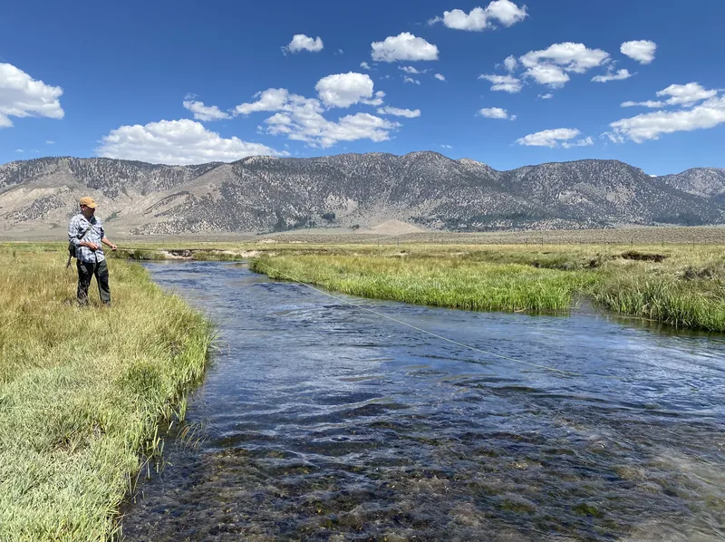
Where the Upper Owens River pours out of the ground, east of 395.

Map by Bill Tipton, made for the Yosemite Gateway Chalet. For planning: carry a real map and check conditions before you go.
Big Springs pours out of the ground just east of Highway 395, and from here the Owens snakes through a wide sagebrush meadow toward Crowley Lake. Above Big Springs the water is called Deadman Creek and has its own rules. Climbers know it for its boulders too.
- From the chalet
- About 25 minutes
- Road
- Owens River Road off 395
Nearby on the map
- Upper Owens RiverSpring-fed meadow water from Big Springs toward Crowley. Lake-run fish in spring and fall.
- Obsidian DomeA dome of volcanic glass off 395, and the landmark for the Glass Creek trail.
- Glass Creek MeadowCorn lilies and wildflowers under the San Joaquin Ridge, twenty minutes south.
- Bachar BouldersJune Lake's classic bouldering, in the pines a mile past June Lake Junction.