June Lake Trail Map · Hikes and fly fishing
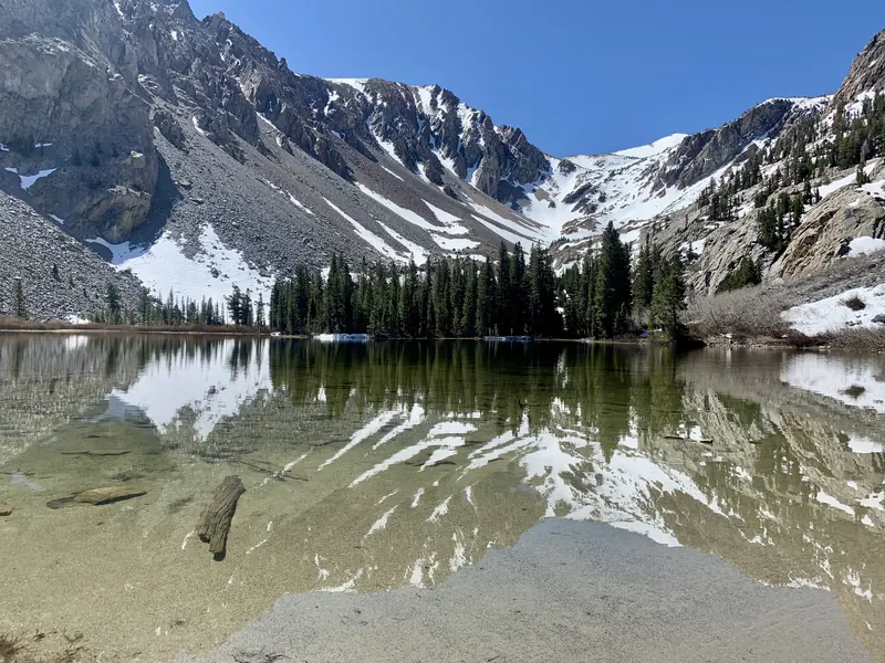
Fern Lake
A small cirque lake on Carson Peak's southern shoulder. Steep, close and full of brookies.

Map by Bill Tipton, made for the Yosemite Gateway Chalet. For planning: carry a real map and check conditions before you go.
A small lake in a cirque on the southern shoulder of Carson Peak, and the closest real hike to the chalet. The trail is steep from the first step. Everyone says it is only a mile and a half. Everyone says that at the bottom. The brook trout cruise the edges and eat dry flies with the enthusiasm of fish that do not see many.
- Start
- The back door
- Trailhead to lake
- About 1.6 miles, 1,600 ft up
- Round trip from the chalet
- 5 to 6 miles, half a day
- Fish
- Brook trout on dry flies
Nearby on the map
- Yost LakePast Yost Meadow, a full day from the back door.
- Carson PeakThe mountain over the hot tub. A 10,000-foot summit from the back door.
- Fern Lake TrailheadA walk from the back door. The trail to Fern Lake and Yost Lake starts here.
- Yost MeadowThe high meadow on the way to Yost Lake. Many guests say it rivals Tuolumne.