June Lake Trail Map · Hikes
Mount Dana
Yosemite's second-highest peak, climbed from Tioga Pass. The map's northwest corner.

Map by Bill Tipton, made for the Yosemite Gateway Chalet. For planning: carry a real map and check conditions before you go.
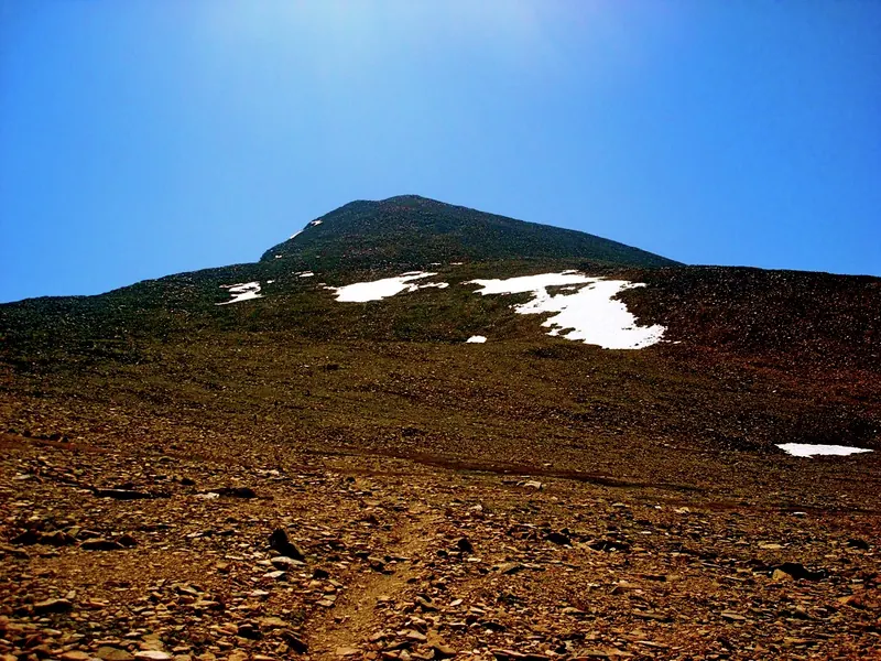
At 13,061 feet, Mount Dana is the second-highest peak in Yosemite and one of the most accessible big summits in the Sierra. The route climbs steeply from near the Tioga Pass entrance station on a use trail. It is a serious day at high altitude, and only when Tioga Road is open.
- Summit
- 13,061 ft
- Start
- Tioga Pass entrance station
- Season
- When Tioga Road is open
Nearby on the map
- Kidney LakeAnother mile and almost a thousand feet above Gibbs Lake.
- Gibbs LakeSteep and quiet, up Gibbs Canyon from Horse Meadows south of Lee Vining.
- Bloody Canyon and Mono PassThe old route over the crest, from Walker Lake up past the Sardine Lakes to Mono Pass.
- Parker LakeShort, easy and pretty, a deep lake under the Sierra crest. Best in October.